HOP Queue (Hyperspectral Onboard Processing Queue)
Northrop Grumman will utilize a visible and Short-Wave IR (SWIR) hyperspectral imager (HSI) and onboard processor to determine coastal water and forest health

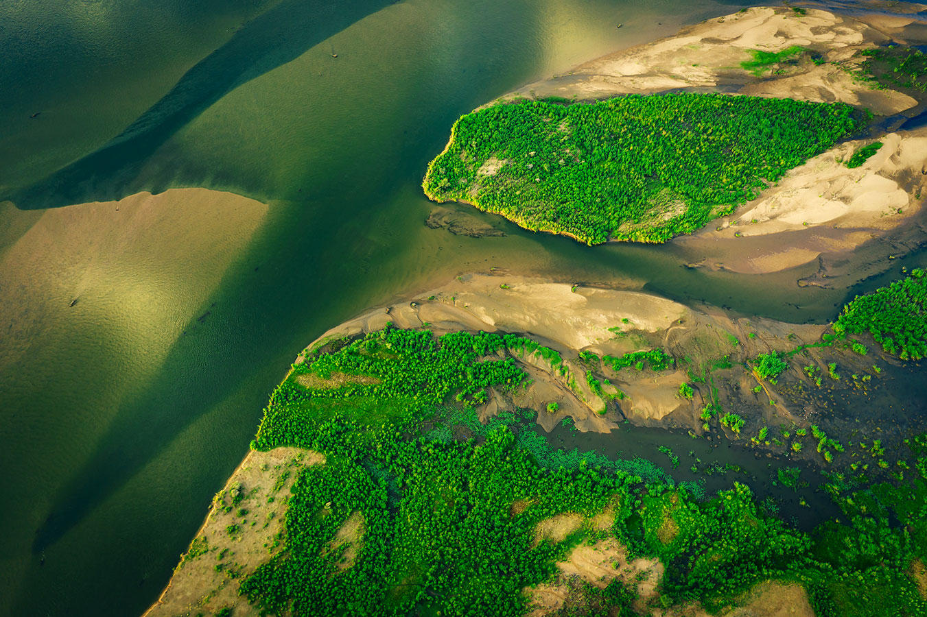
Coastal Water and Forest Conservation
Assessing the health of coastal waters and forests can be an overwhelming task for conservationists. Coasts and watersheds often stretch for miles, and the sediment and agricultural runoff that often causes environmental damage to these ecosystems can be hard to detect. Dense, healthy forests are critical to local water quality - absorbing sediment and runoff, filtering pollution, and preventing erosion – but can be just as vulnerable to degradation, especially in extreme conditions such as an unexpected and catastrophic wildfires. The large-scale monitoring of both coastal and forest health is key not only to maintaining healthy ecosystems, but to protecting the quality of water on which humans also rely.
To help track the quality of coastal waters and forests, Northrop Grumman is collaborating with the NASA Jet Propulsion Laboratory’s Surface Biology and Geology study on the HOP Queue Tech for Conservation project. We’ll work together by using an HSI-dependent system to detect nutrient and solution runoff, microplastics, and algae growth and O2 hypoxia for coastal waters and forest fires, burn areas, fuel levels, and biodiversity of forested areas. We’ll compare water quality metrics and forest health metrics to truth data to scale the system up from ground testing to flight demonstrations as a surrogate for a CubeSat payload to provide monitoring services worldwide. NASA scientists will be able to utilize this data for environmental monitoring such as predicting algal blooms, which result from excess nutrients in waterways.

HOP Queue Capabilities
Phase I of the project will focus on testing and utilizing emerging commercial, off-the-shelf artificial intelligence accelerators and graphics processing units (GPUs) to perform on-board processing of HSI data. Flight test data will be compared to data from current NASA satellites and from the ground truth smart buoy, a joint effort with the T4C Oyster Monitoring Challenge.

Phase I Steps Will Include:
• Deploying smart buoys in the Chesapeake Bay to collect water quality data as ‘truth data’
• Previously collected forest health information will be used for ‘truth data’
• Using airborne sensors to collect data of coastal waters and forested areas – data will be processed in real time onboard the aircraft, creating water quality and forest health metrics
• Store data and metrics on board
• NASA assets collecting data concurrently
• Analysts comparing sensor metrics to truth data and NASA satellite vehicles
Are you interested in technology and innovation?
We are, too. Check out Northrop Grumman career opportunities and consider joining our team.